Read GPS coordinates
Extract latitude and longitude from supported photo metadata, then keep the original precision visible.
Photo Location Finder reads the GPS and EXIF metadata already inside your image, then turns coordinates into a clear place, map context, and confidence signal.
 Private by design. No visual guesswork when metadata gives you the answer.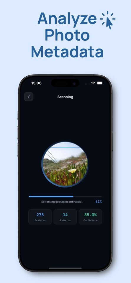
Travel memories, old camera-roll images, and photos saved from elsewhere can carry useful location information. GeoSee surfaces it without making you inspect a metadata panel by panel.
Extract latitude and longitude from supported photo metadata, then keep the original precision visible.
Resolve coordinates into a city, country, nearby reference, and a map-ready result.
See whether the result was verified from embedded GPS data or returned as a limited fallback.
Your photo stays at the center of the workflow. Select it, let the app inspect its metadata, and review the map context.
Pick a JPG, PNG, or HEIC image from your iPhone library, or take a new photo.
The app checks for embedded GPS values and the photo information available to it.
See the coordinates, place name, nearby context, confidence, and a shareable summary.
Not every image contains a location. Photos sent through apps, screenshots, exports, and edited copies may have their GPS metadata removed. Photo Location Finder tells you when there is no location data instead of inventing a precise answer.
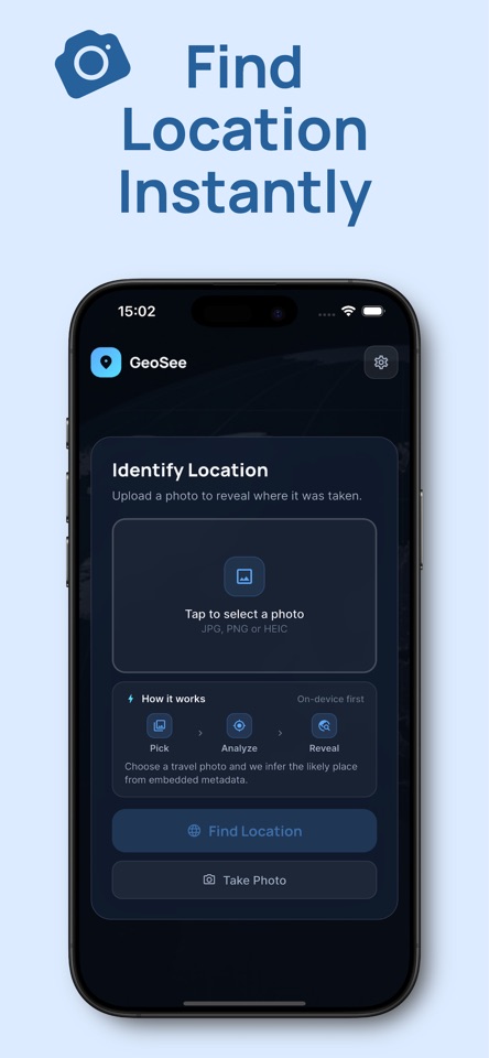
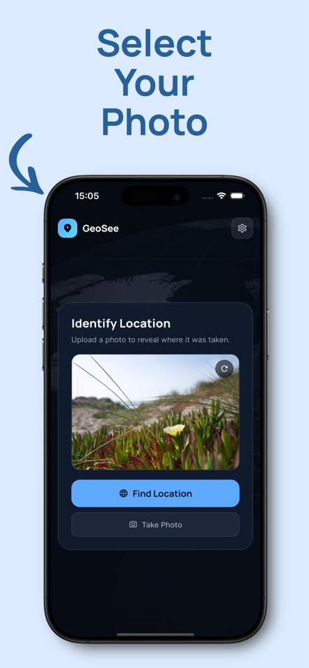
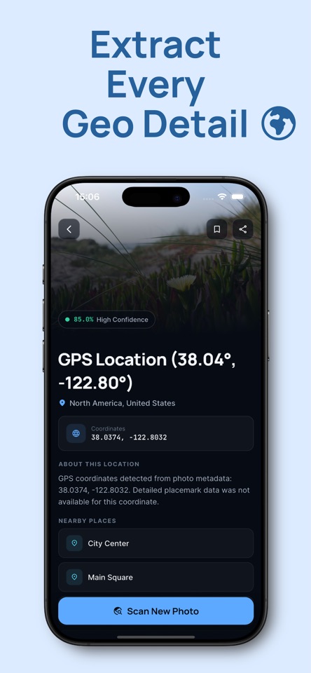
Explore the guides for GPS, EXIF, and missing metadata, then download the full app for the on-device workflow.
It can find a location when the image contains usable GPS metadata. If the data is missing, the app explains the limitation rather than presenting an unsupported exact location.
Yes. It is designed for iPhone and reads supported JPG, PNG, and HEIC images from your library.
EXIF is information stored inside a photo file, including camera details and sometimes GPS coordinates. The GPS portion is what allows a precise photo location result.
Photo Location Finder reads embedded GPS and EXIF fields available in the original image. It does not claim to identify a place from visual appearance alone, and a screenshot or messaging-app copy may have no location data left.
Updated August 9, 2026 · Product information and limitations are reviewed by the GeoSee product team.